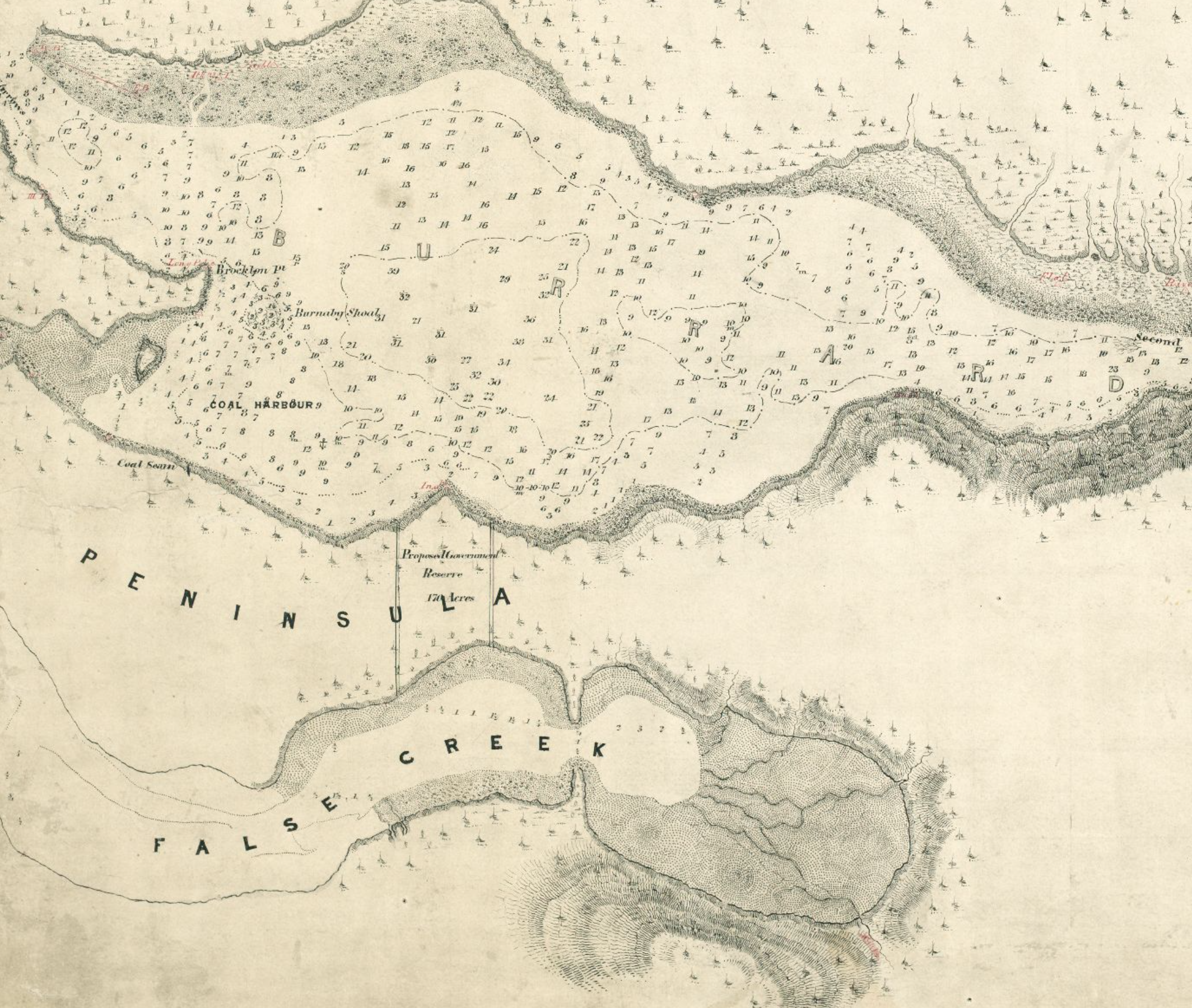
#009 - The buried shores of False Creek
One of the oldest maps of downtown Vancouver is this sketch of from 1859, showing the vast expanse of intertidal area False Creek Flats used to cover. The narrowest section, where the two natural jettys almost meet, is where Main Street runs today. Cut from the incoming tidal flow, the flats east of Main Street are now filled, and Main Street marks the easternmost edge of modern False Creek.
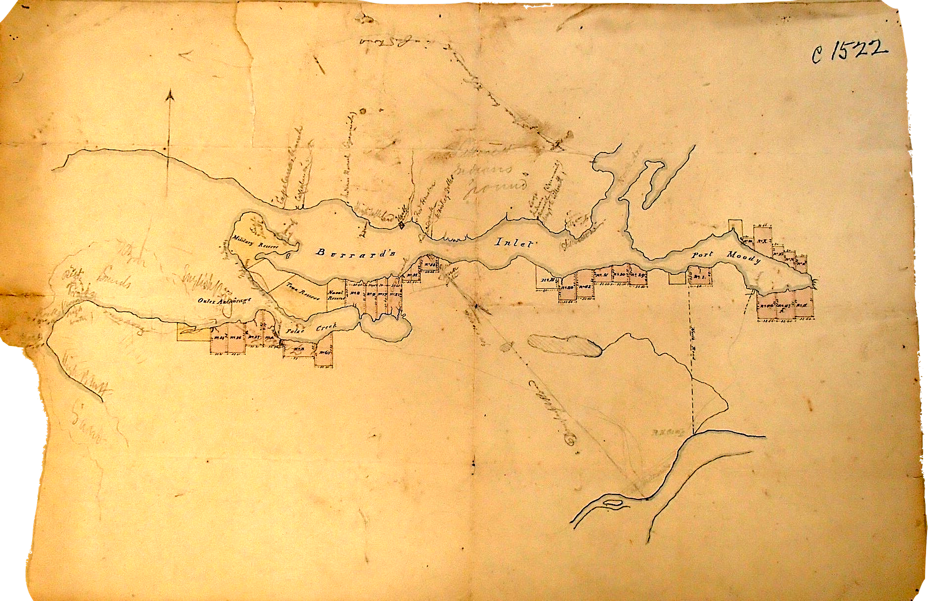
The next oldest map is from 1863 (crease map)
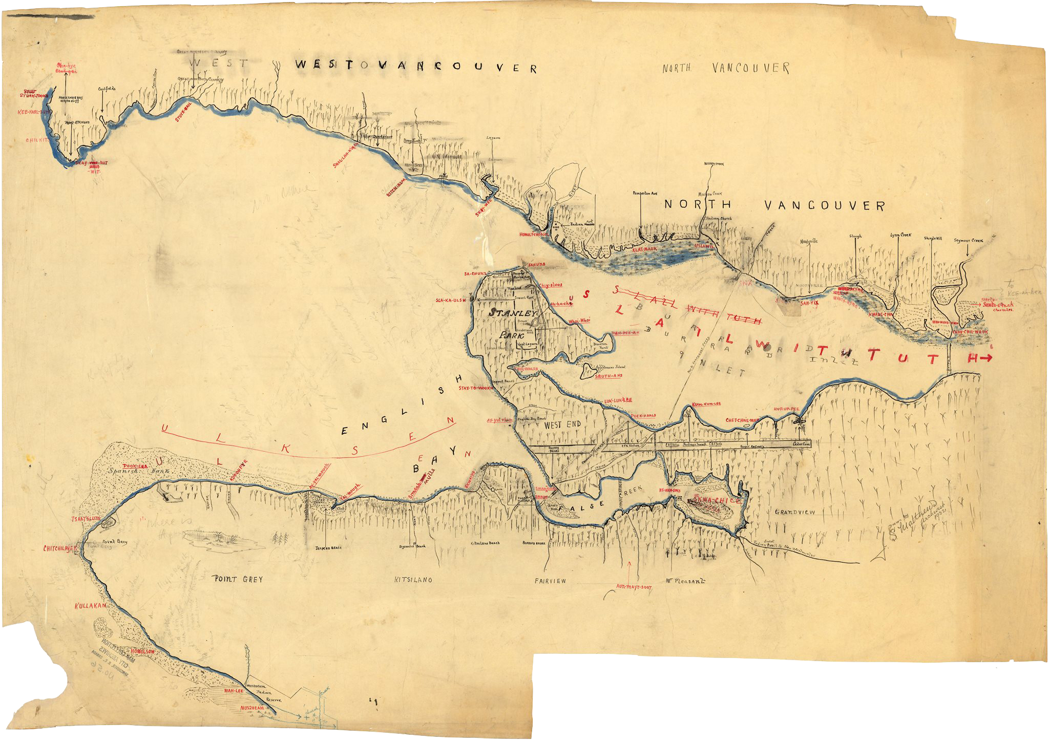
Map of place names (date unknown?)